
Assalamu Alaikum Warahmatullahi Wabarakatuh
Mazaharul Islam is a hardworking person, well-organized, conscientious self-starter, able to strategize and prioritize effectively to accomplish multiple tasks, stays clam under pressure and last but not least, an enthusiastic person. Looking for hard and challenging job where I will have the scope to utilize my potentiality, adaptability and skill to do something innovative and form where I will be able to enhance my knowledge.
Currently pursuing a bachelor of science in Oceanography at University of Chittagong, Bangladesh. Eager to learn more about the many applications of Remote Sensing and GIS. Skilled in ArcGIS, QGIS, Surfer, Adobe Illustrator,Google Earth Engine, Microsoft Office.
See more

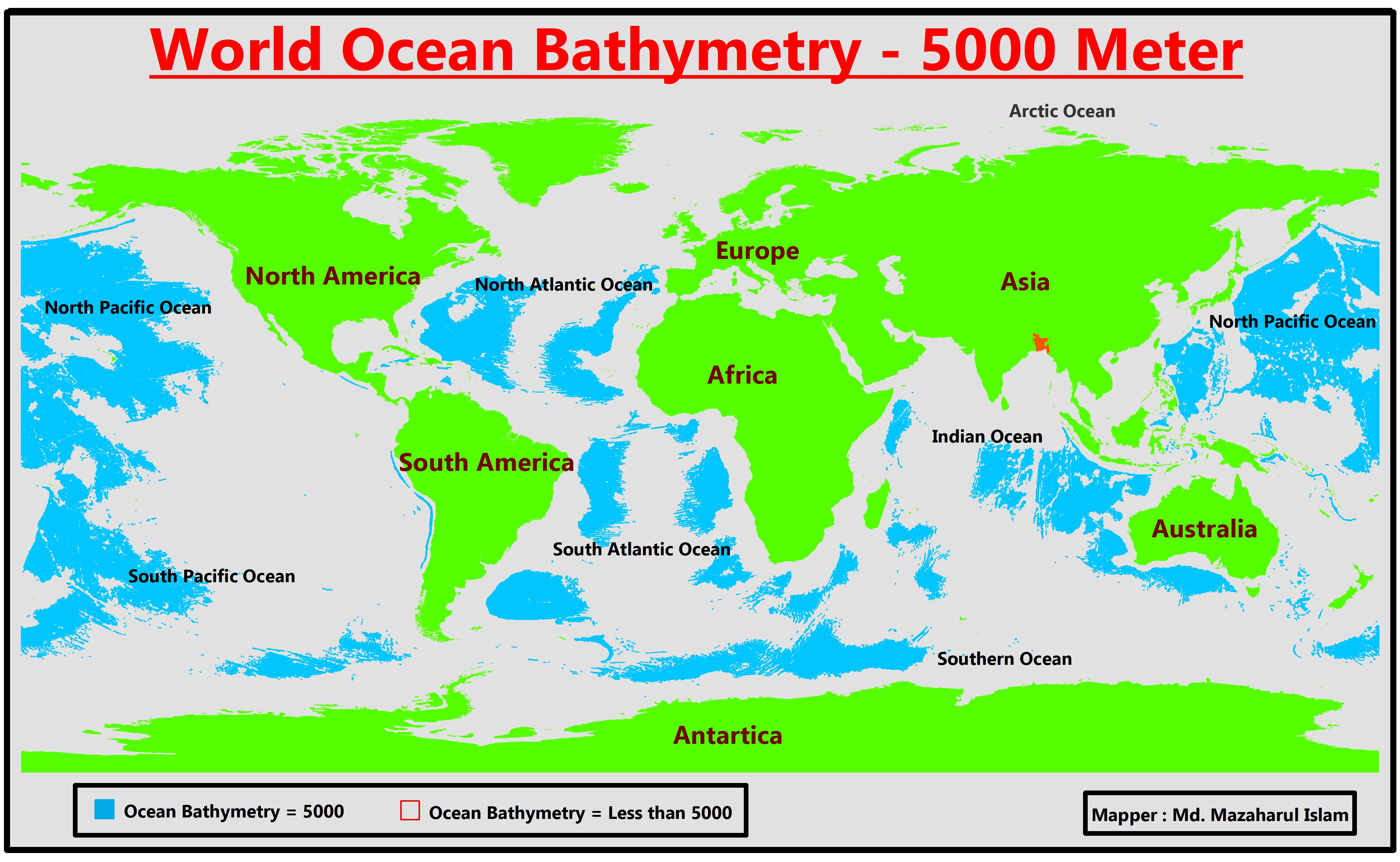

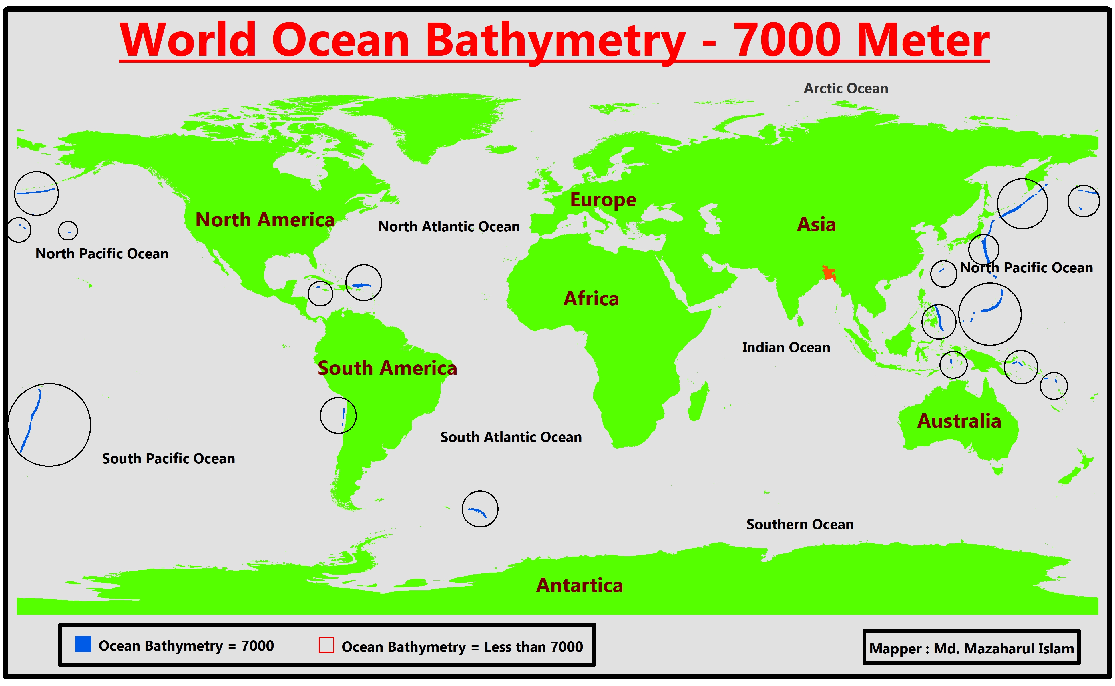
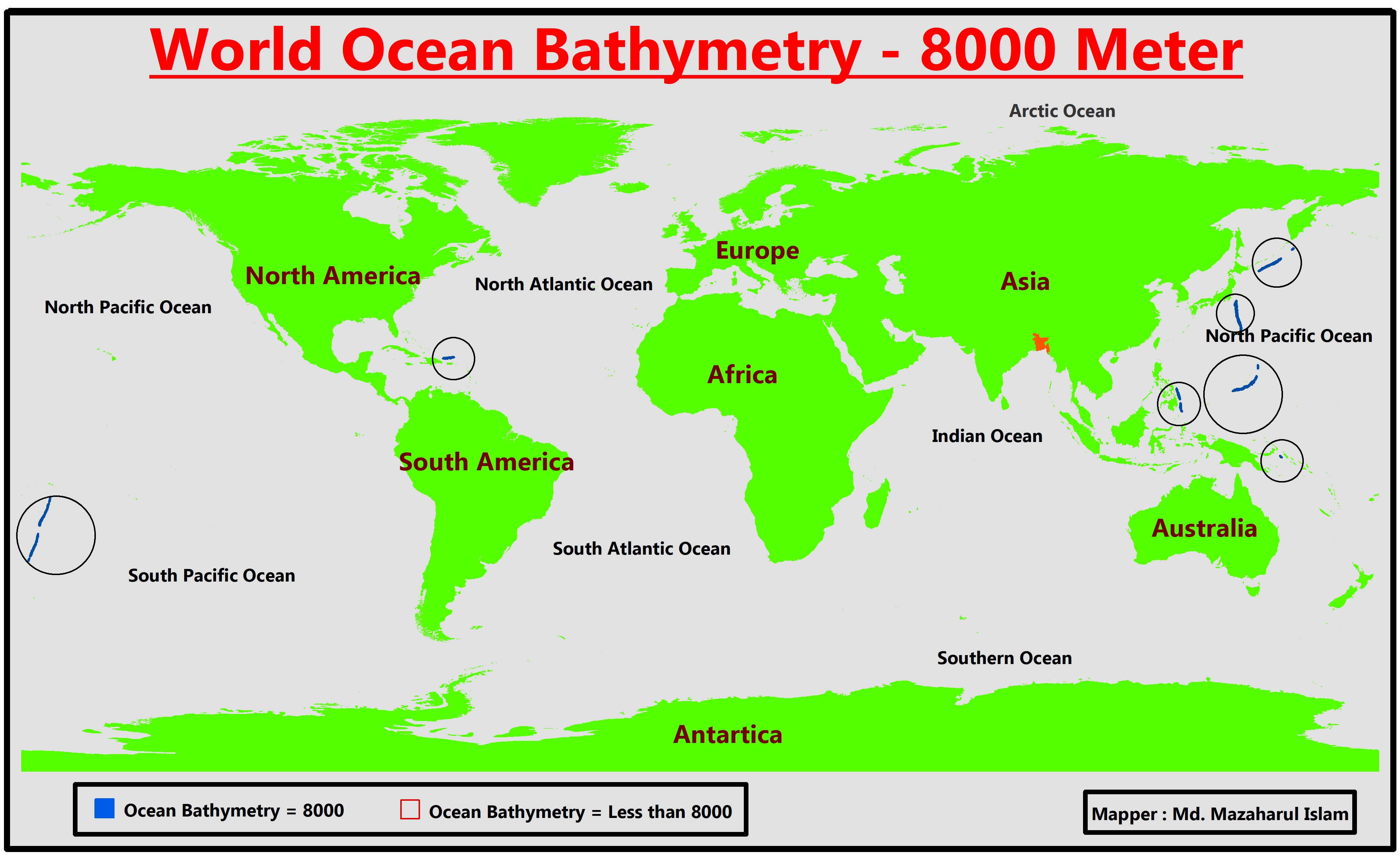

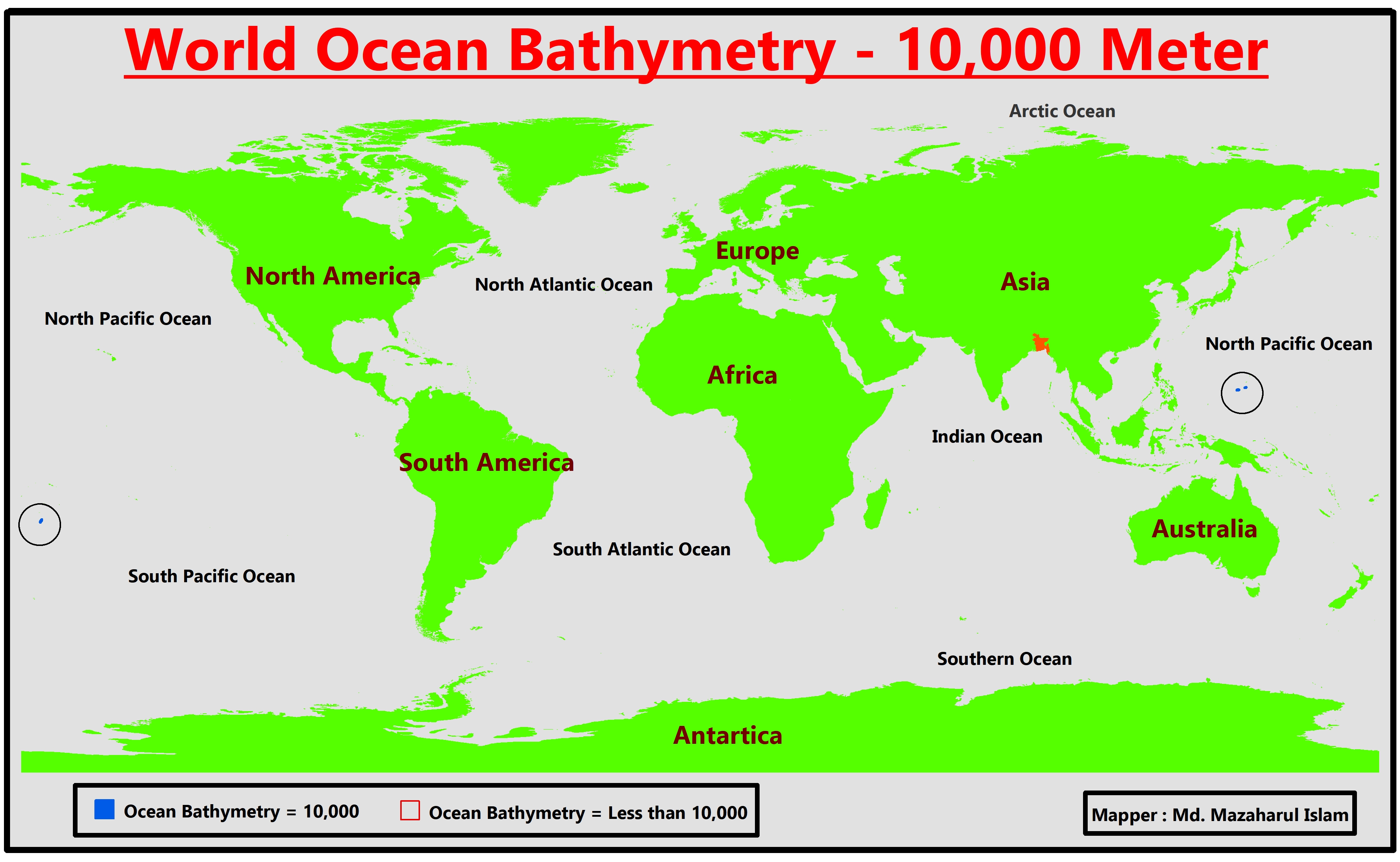
Seamount 3D Maps


Cycolne Amphan Tracking Maps
Cyclone Amphan tracking map Bangladesh
Cyclone Amphan tracking map Bangladesh

Cyclone Amphan tracking map Bangladesh

Cyclone Amphan tracking map Bangladesh
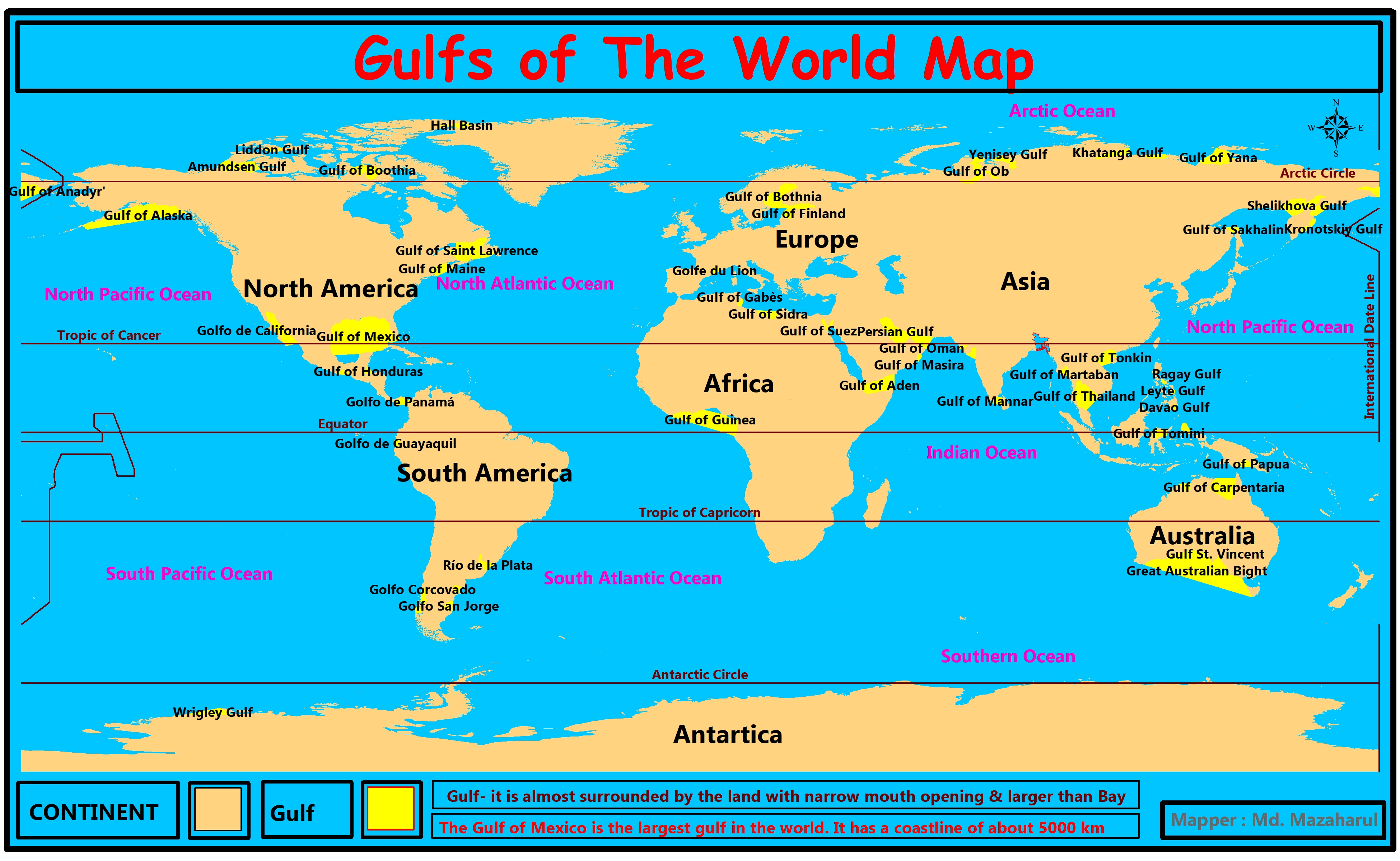
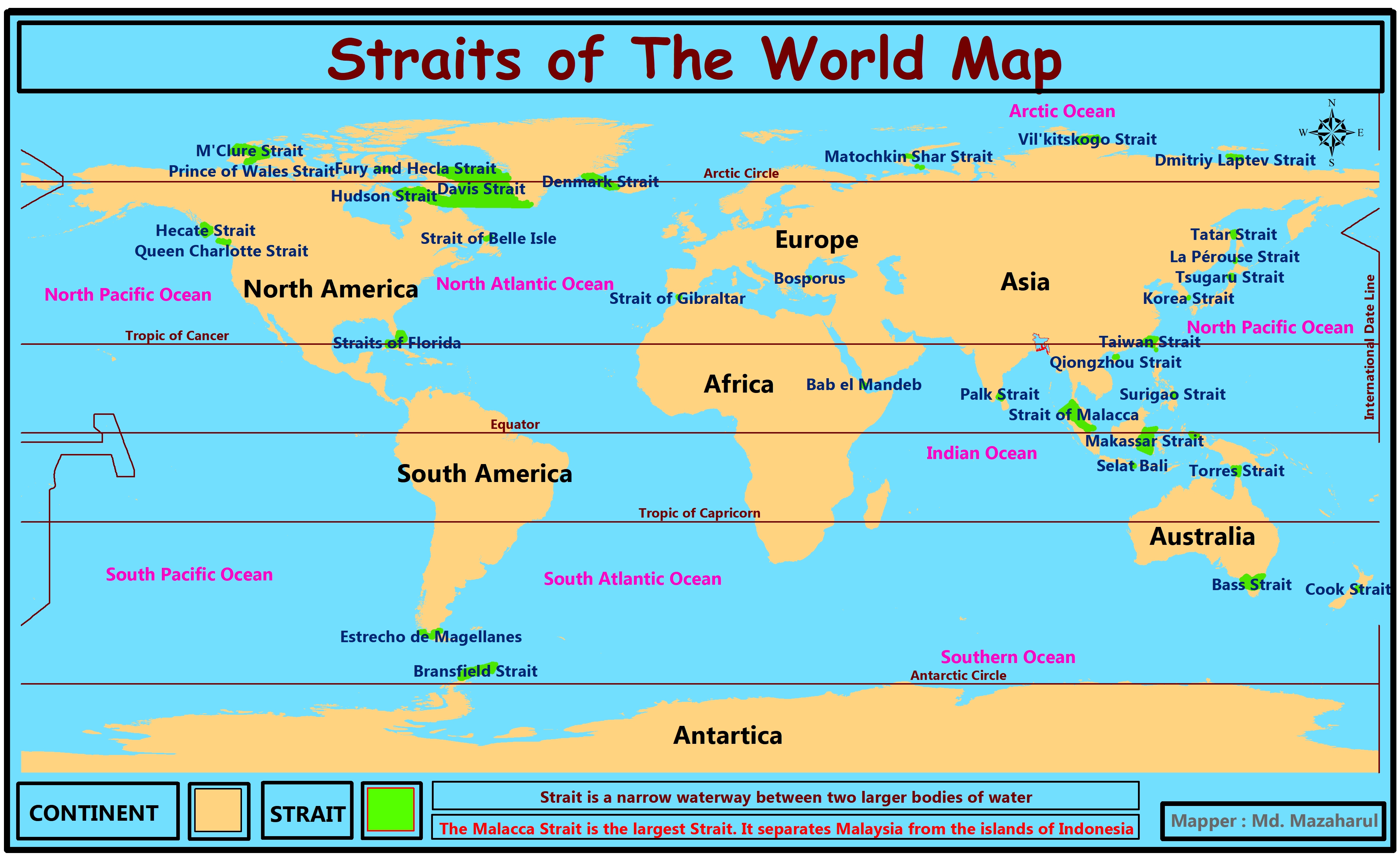
Sea , Gulf, Bay and Strait Maps
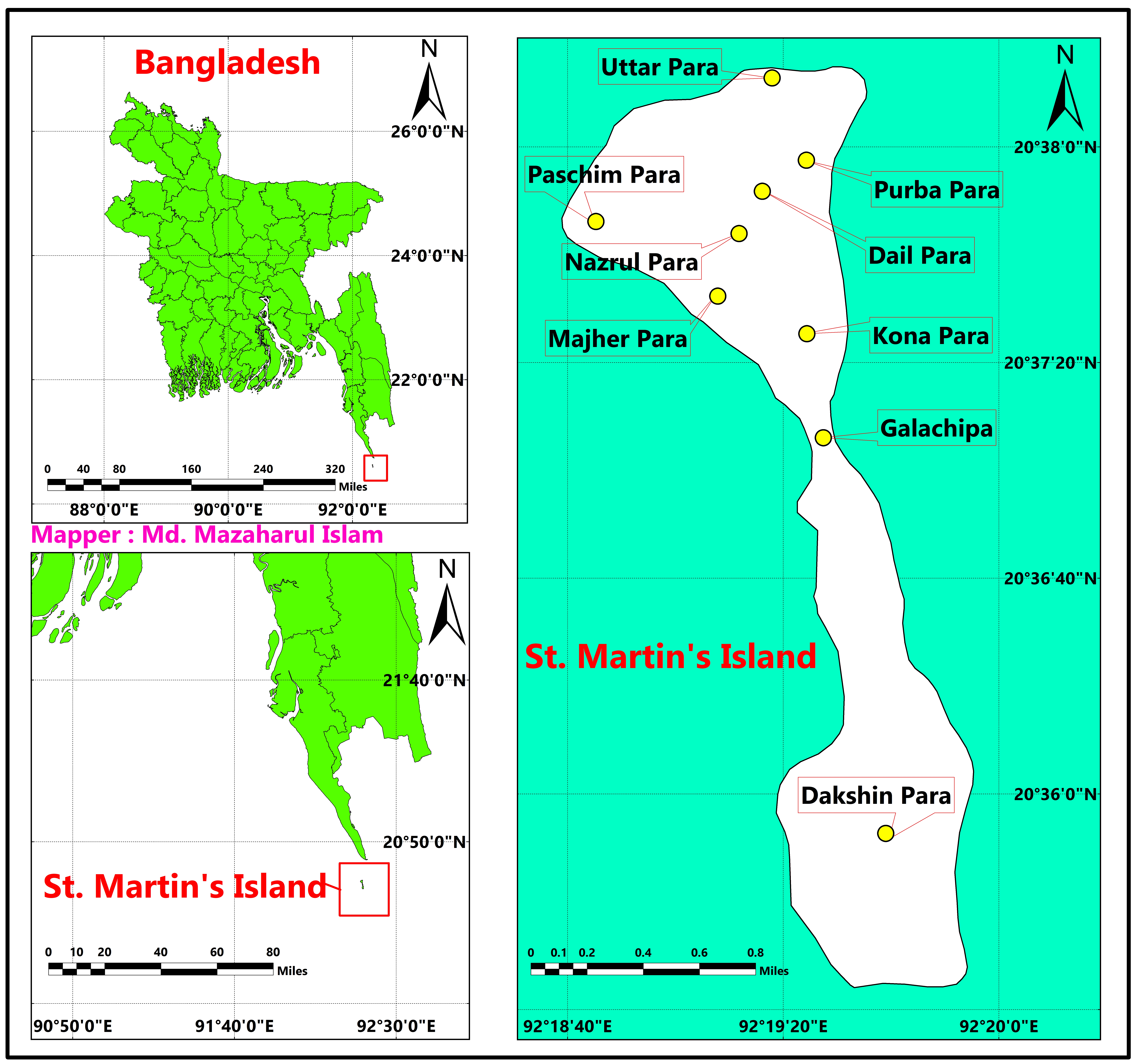
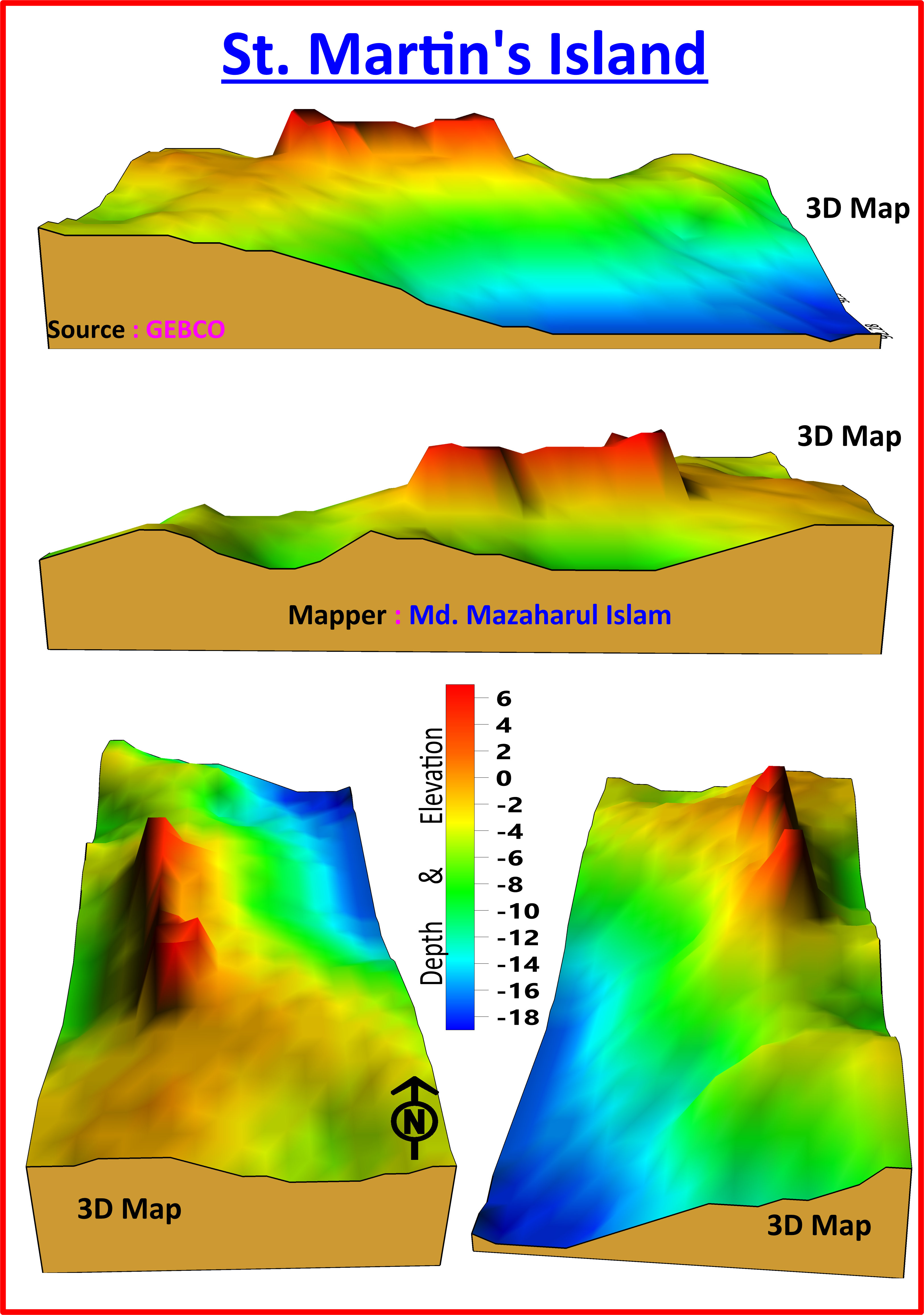
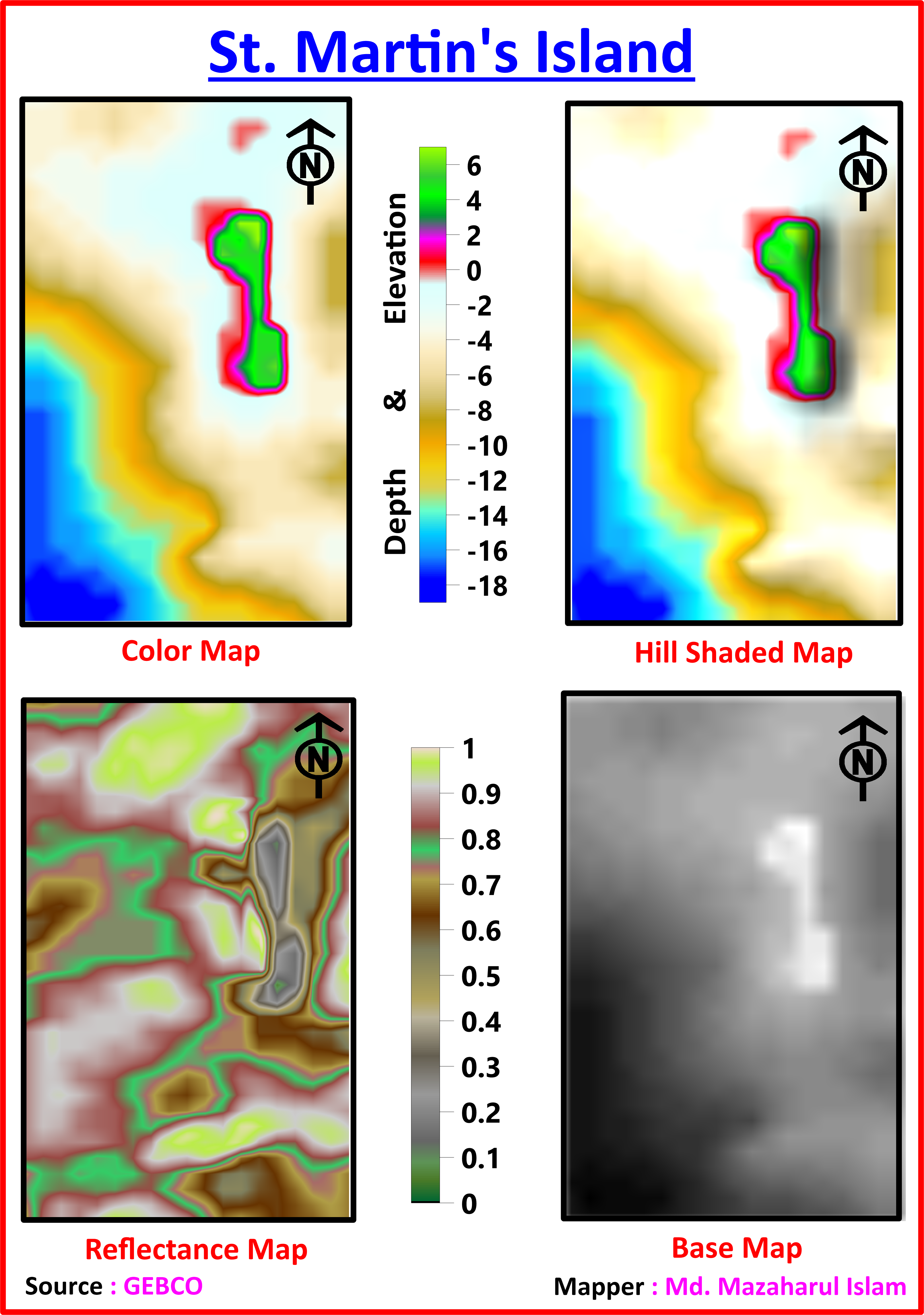
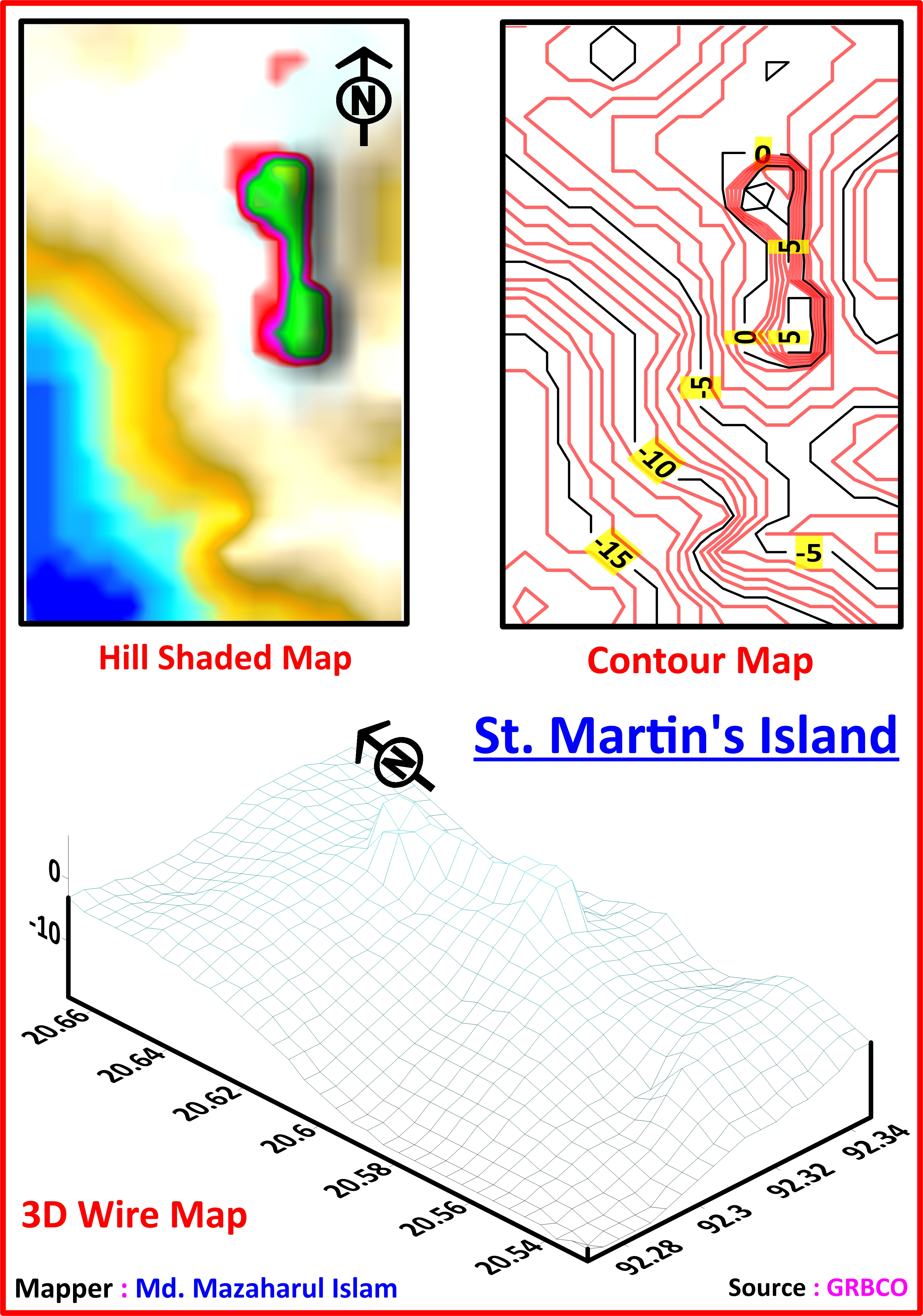
Saint Martin's Island, Bangladesh
Natural Disaster, Bangladesh
.jpg)
.jpg)
.jpg)
.jpg)
Submarine Canyon
.jpg)
Bering Canyon
A canyon is a deep, narrow valley surrounded by tall cliffs. Bering Canyon, the world's longest known slope valley, is approximately 400 km long and has a volume of 4,300 km3.
.jpg)
Indus River Canyon
The Indus River Canyon is a deep fissure located about 150 km southeast of Karachi and southwest of the Indus River.
.png)
Swatch of No Ground
The Swatch of No Ground (SoNG-MPA) is Bangladesh's first marine protected area. It is located in the Bay of Bengal at the head of a submarine canyon. It spans approximately 672 square milesand is more than 900 meters in depth in some locations.
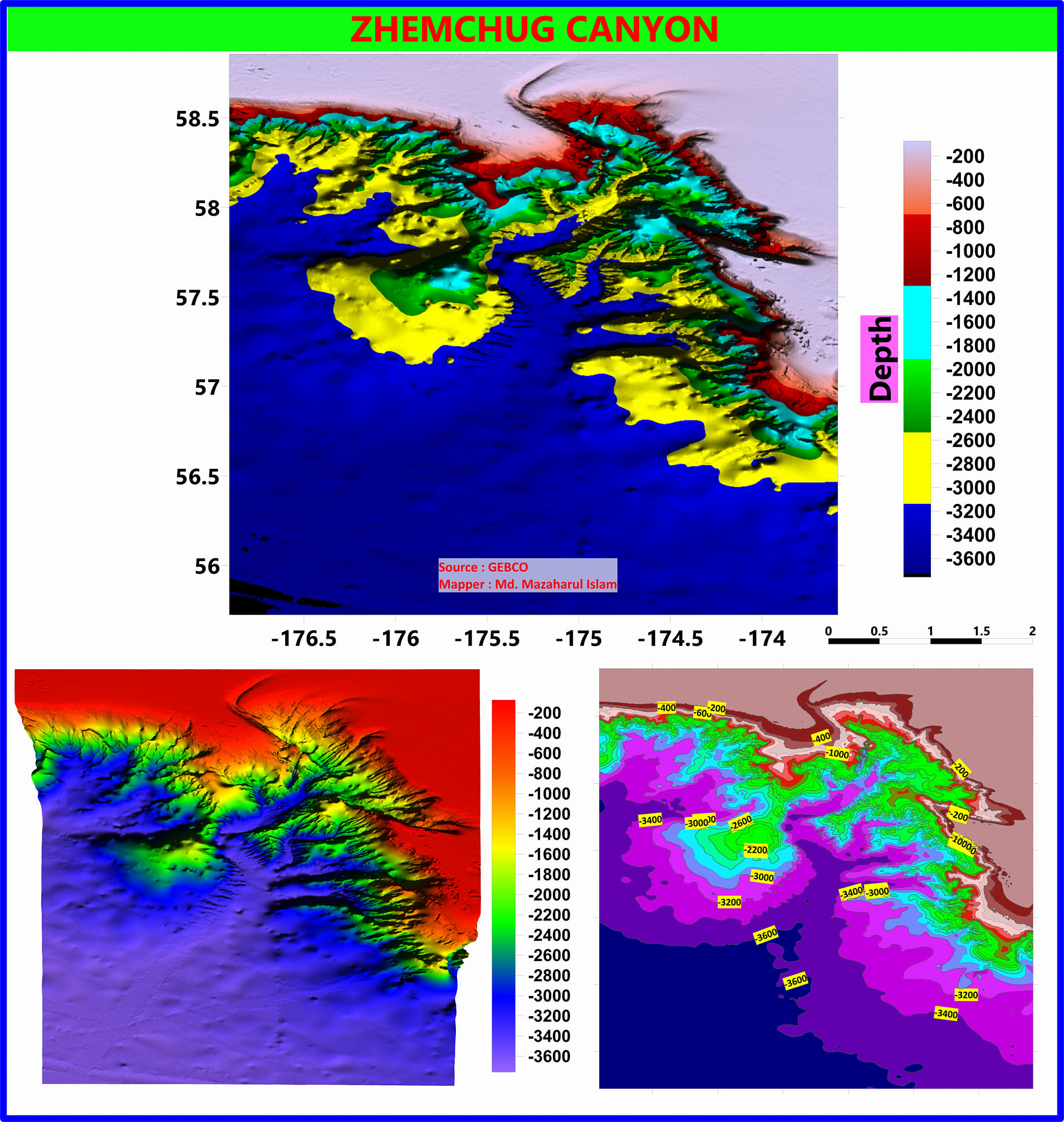
The World's Largest Ocean Canyon
Zhemchug Canyon is in the Bering Sea and is the largest canyon in the ocean it has a vertical drop over 2500 metres.
See moreEducational Qualification
Fourth year running.
Group: Science, GPA: 4.50 , Board: Dhaka , Passing year: 2014
Group: Science, GPA: 4.50 , Board: Dhaka , Passing year: 2012
Language Proficiency
Extensive communicative skill as native one
Good in listening, reading, speaking and writing
Attending Online Courses
Online Teaching Experience
I consider myself as a responsible one, with initiative and punctuality and I would like to share my technical skills with others.
This a GIS and Remote Sensing based youtube channel. This channel is mainly focus on the GIS & Remote sensing analysis tutorials.
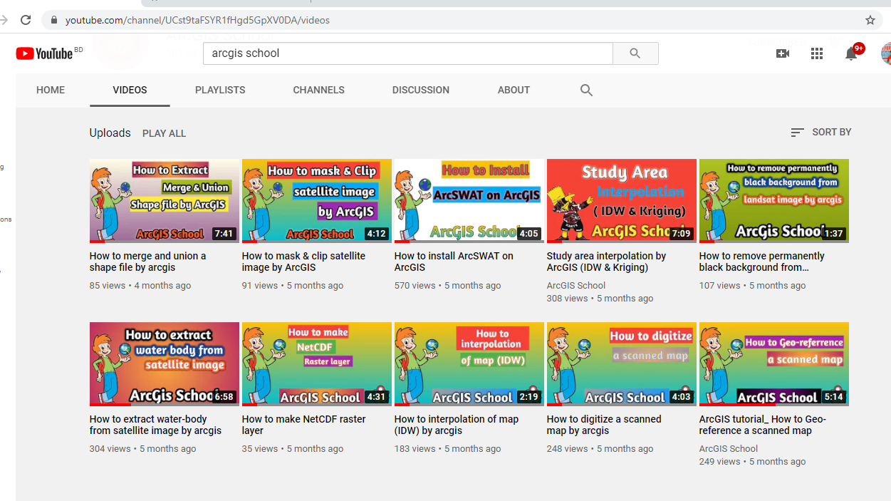 ArcGIS School
Travelling Activities
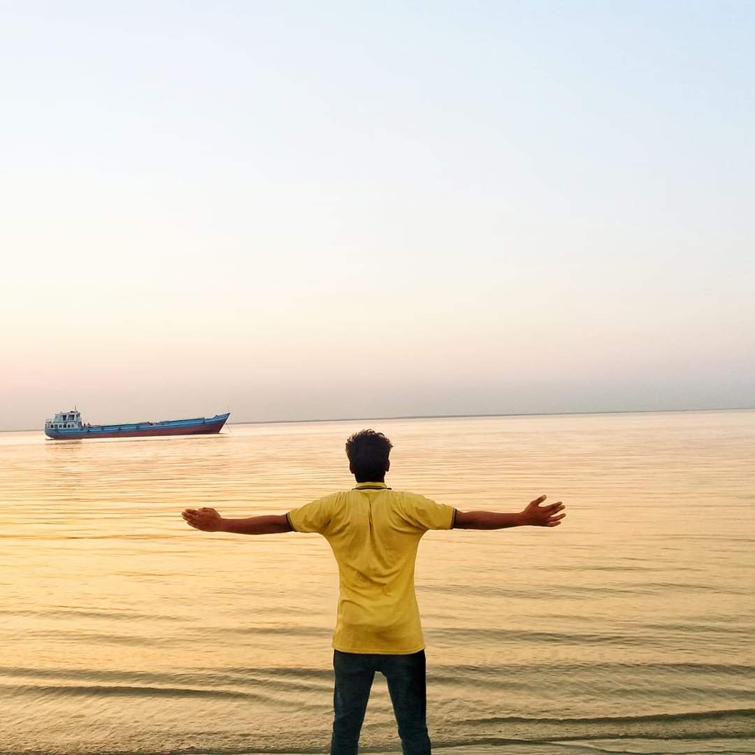
Traveling is my source of happiness. I love to travel. Traveling is a wonderful hobby for the people to escape from a dull and mundane life back home, one get a break from routine life and stress is reduced.
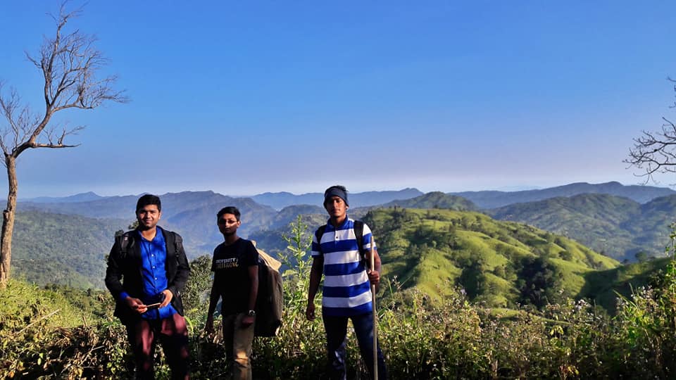
Somewhere in Keokradong, Bandarban
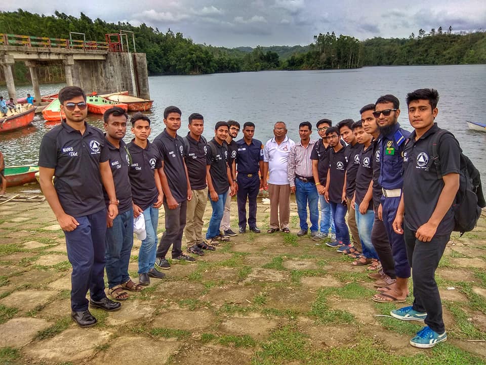
One day in Mohamaya lake, Chittagong- Bangladesh.
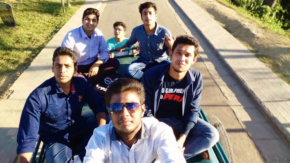
Journey to the Sajek Vally
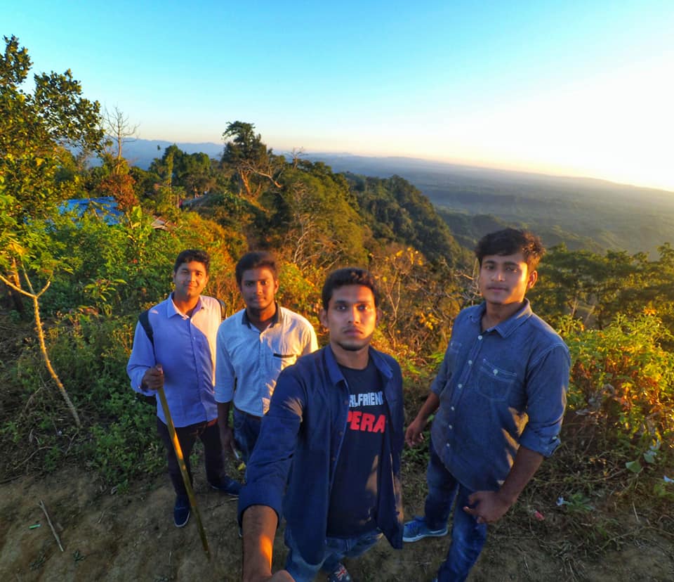
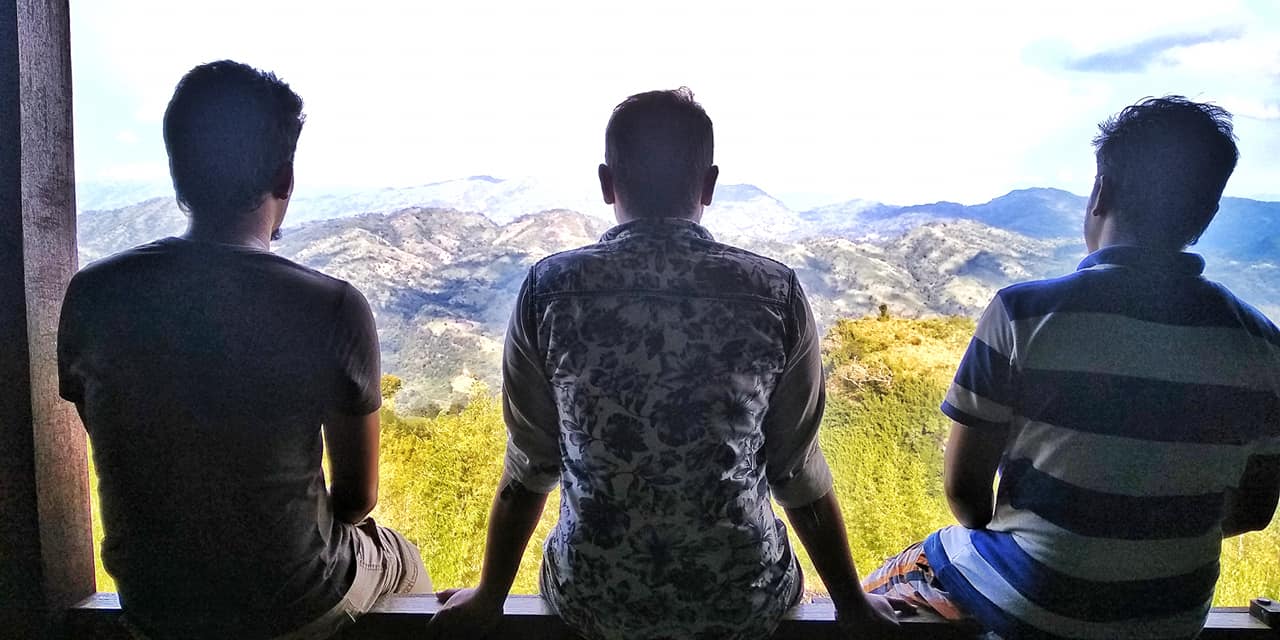
We were on top of the Konglank Mountain, Sajek Vally
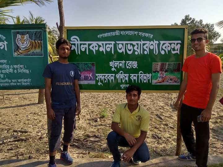
Trip to Sundarban
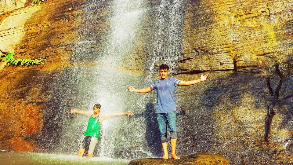
Khoiyachora waterfall is one of the most spectacular natural waterfall located in Mirsharai upazila, Chittagong.
Plesant moment in life.
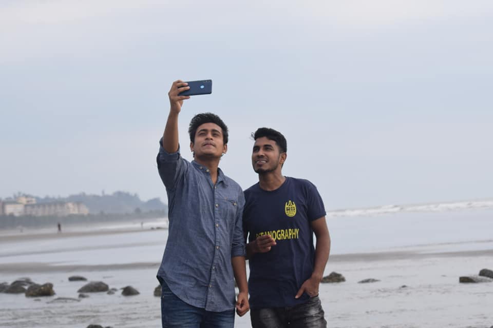
Inani Sea Beach, Cox's Bazar.
See more